Six Lakes Fill Empty Basins. Their Shores Still Need Work.
Atlas #13 · Reading the island, part 2 of 2
In this post
- Hananqucha covers the meadow around an existing river
- Ho Thac and Ho Treo put water between forested slopes
- Abendsee, Lac Clair and Joutsenjarvi replace dry ground with water
- The lowest exit sets the water level
- Real banks leave space between trees and water
- Full relief gallery: the basins and their outlets
- The shoreline check still fails
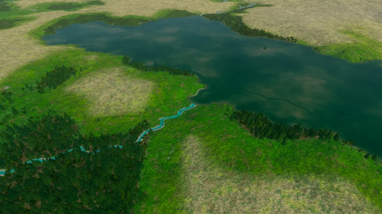
At Hananqucha, a river crossed a meadow between wooded hills. Now a lake fills the hollow, meeting the river beside a grassy peninsula.
That change repeats across six lake basins: water covers grass, separates wooded slopes and reaches the mouths of narrow valleys. But the new lakes also expose unfinished banks, trees apparently standing in water, and a shoreline check that still fails.
An earlier post found hollows waiting for their water. Here are the before-and-after game views from the next six additions. These are local development builds; the lakes have not been released.
Each pair keeps the same camera, light and weather. All 53 gallery images are included below: game views first, then reference photographs and the full relief gallery.
Hananqucha covers the meadow around an existing river#
Hananqucha sits in the Temperate Middle. The river was already there. The lake covers the surrounding meadow; the enclosing hills keep their shape.
A stream meets the lake beside a grassy peninsula#
A meadow reaches the water beside a wooded peninsula. It looks like somewhere to walk down to the lake, though we have not tested that approach at player height.
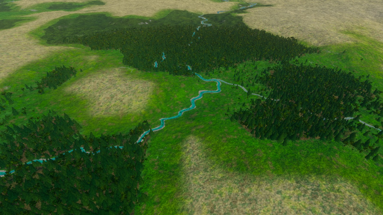
Before: Hananqucha, the first planned outlet neck. Follow the stream across the meadow into the tree-lined hollow.
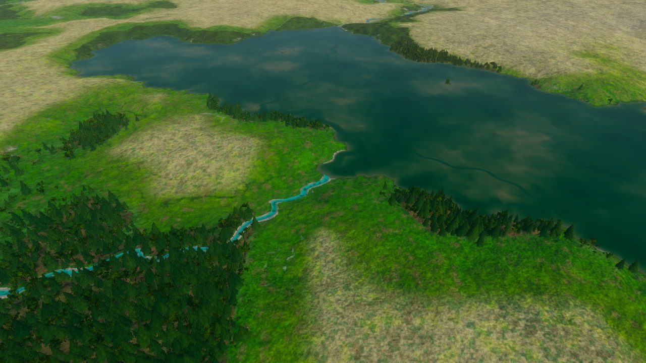
After: Hananqucha, the first planned outlet neck. The meadow reaches the lake beside a wooded peninsula; dark surface lines remain visible.
The wider basin: dark water replaces dark forest#
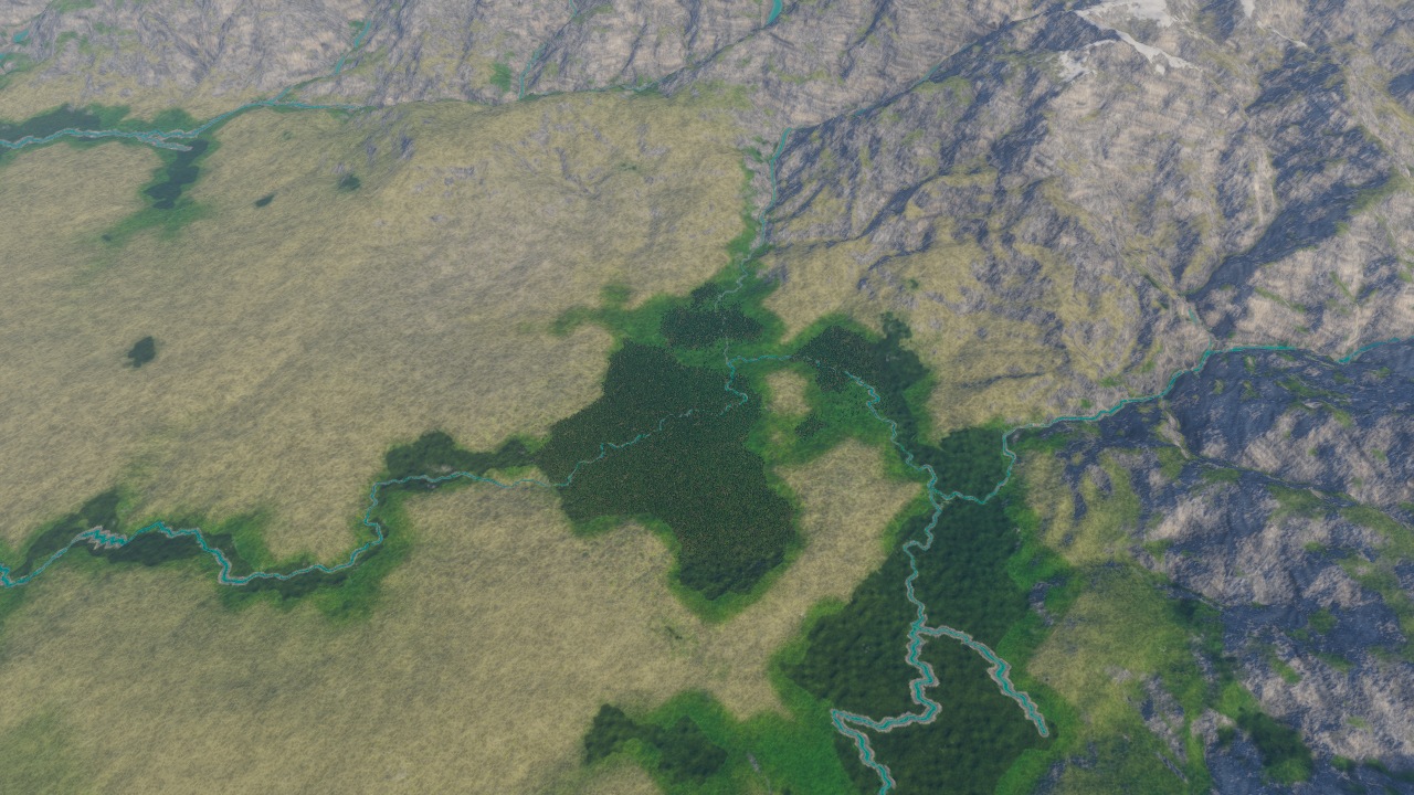
Before: Hananqucha, the broad basin. A narrow river threads the meadow between the wooded hills.
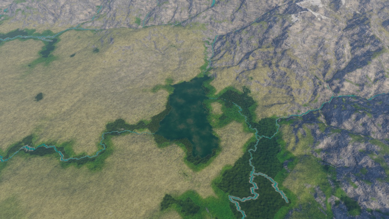
After: Hananqucha, the broad basin. The lake occupies the dark central patch where trees stood. At this scale, dark forest and dark water look similar; the closer pair above shows the change more clearly.
The second outlet exposes dark patches and crowded banks#
The river runs between wooded slopes. In the after view, angular dark patches cross the water and trees crowd the edge. There is little bare bank between the forest and the lake.
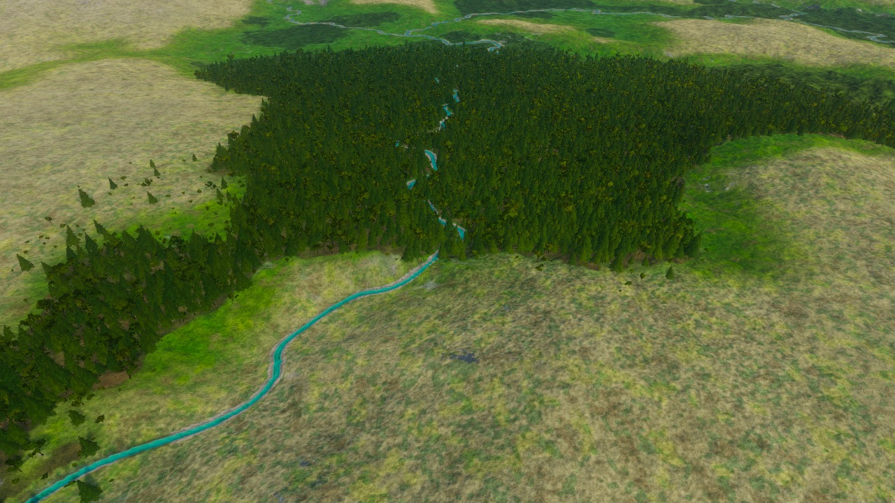
Before: Hananqucha, the second planned outlet neck. The narrow river leads away between wooded shoulders.
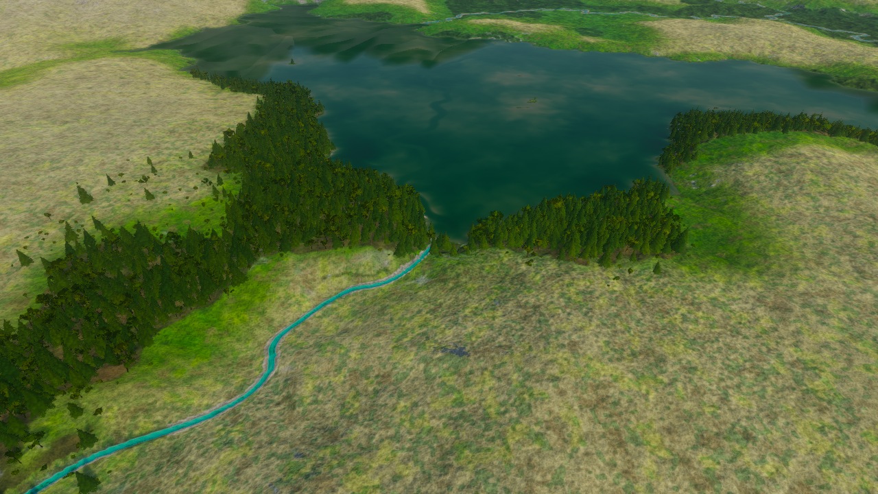
After: Hananqucha, the second planned outlet neck. The lake reaches those shoulders, revealing angular patches and a crowded forest edge.
Ho Thac and Ho Treo put water between forested slopes#
In the Rain-Forest East, the lakes interrupt dense forest. Their banks are harder to pick out: canopy hides much of the ground beside the water.
Ho Thac beneath the mountain#
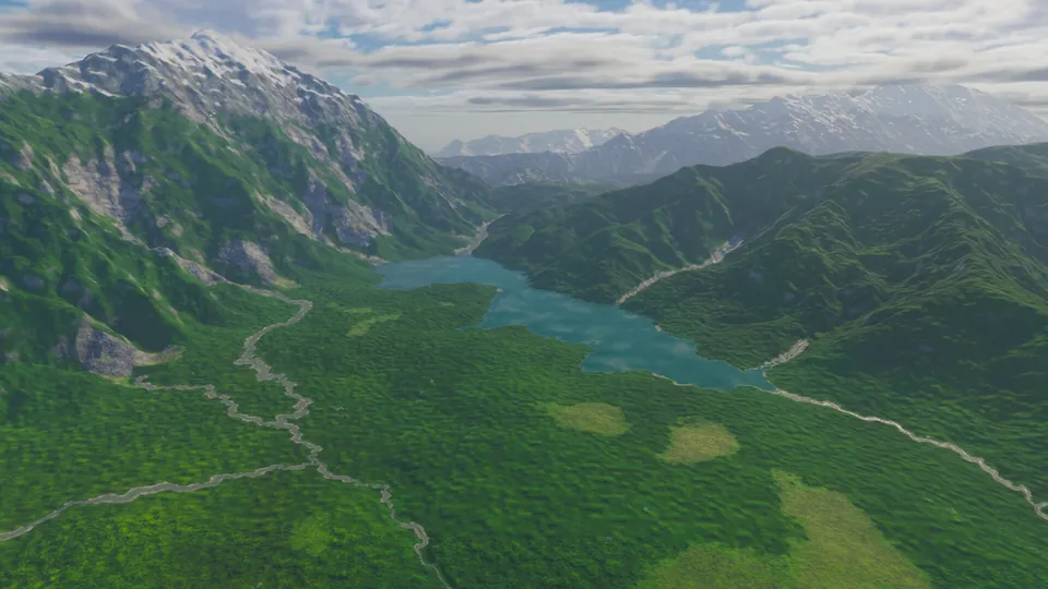
Ho Thac fills a small turquoise opening beneath the mountain. From this camera, trees hide most of the bank.
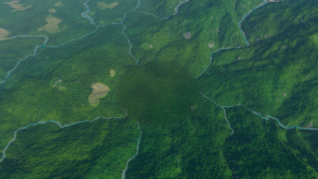
Before: Ho Thac, the lake beneath the surrounding mountains. The forest runs through the basin without a large opening.
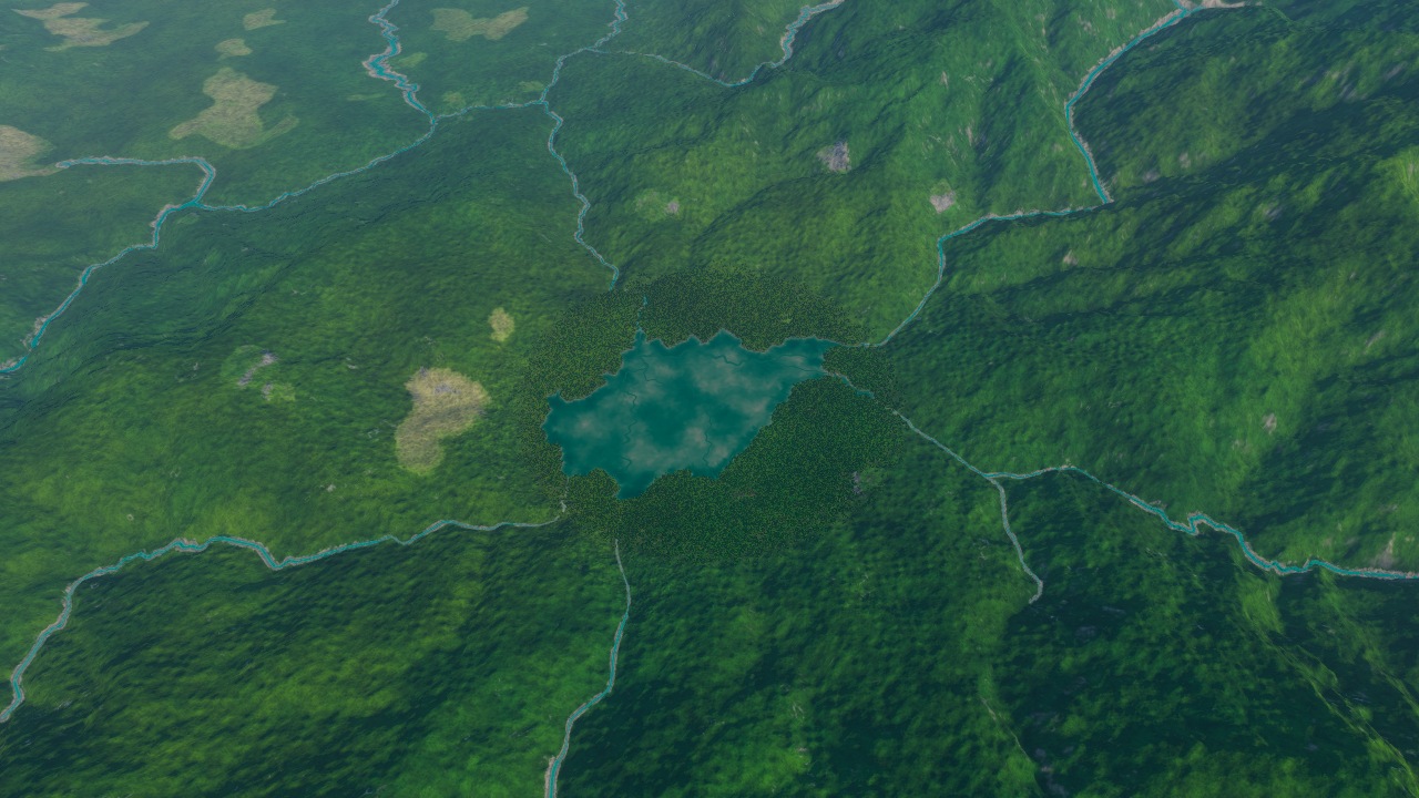
After: Ho Thac, the lake beneath the surrounding mountains. The turquoise water makes a clearing beneath the mountain.
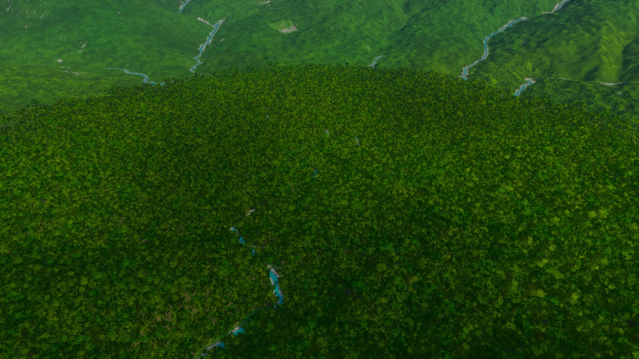
Before: Ho Thac, the planned outlet and forested slopes. Dense canopy conceals much of the valley floor.
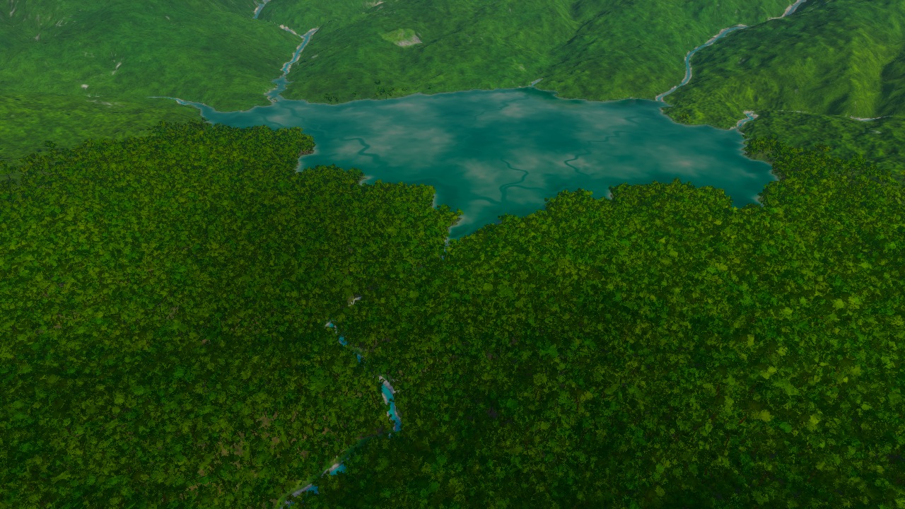
After: Ho Thac, the planned outlet and forested slopes. The new water reaches the trees; a clear place to stand at its bank is still difficult to read.
Trees appear to stand in Ho Treo#
Ho Treo bends between steep slopes, with small pieces of land breaking up the water. Some trees appear to stand in the lake. These views cannot tell us which stand on real islets and which need moving; we need to check the ground beneath them.
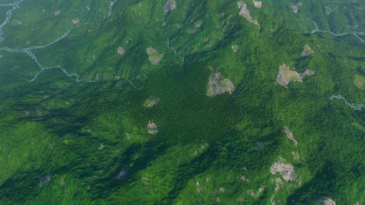
Before: Ho Treo, the enclosed mountain basin. The basin lies within steep forested slopes.
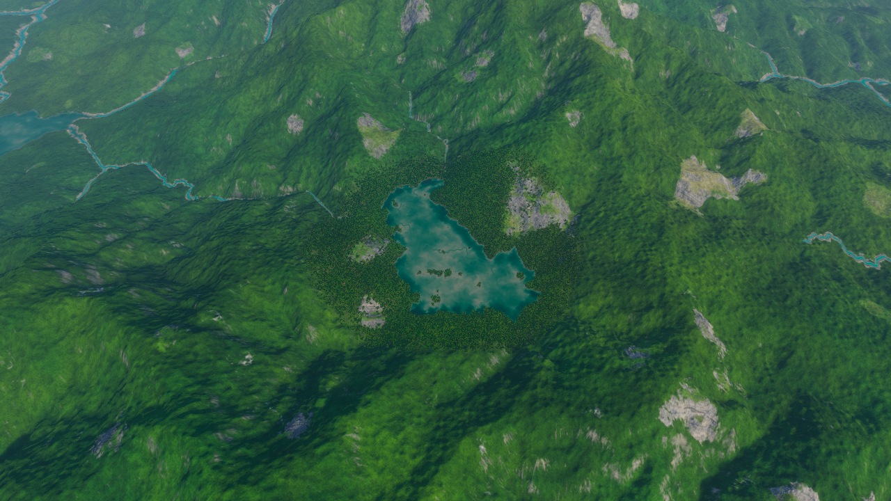
After: Ho Treo, the enclosed mountain basin. Small dry fragments remain within the lake.
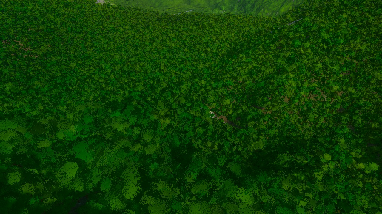
Before: Ho Treo, the closer lake and gorge connection. The nearer forest fills the approach to the hollow.
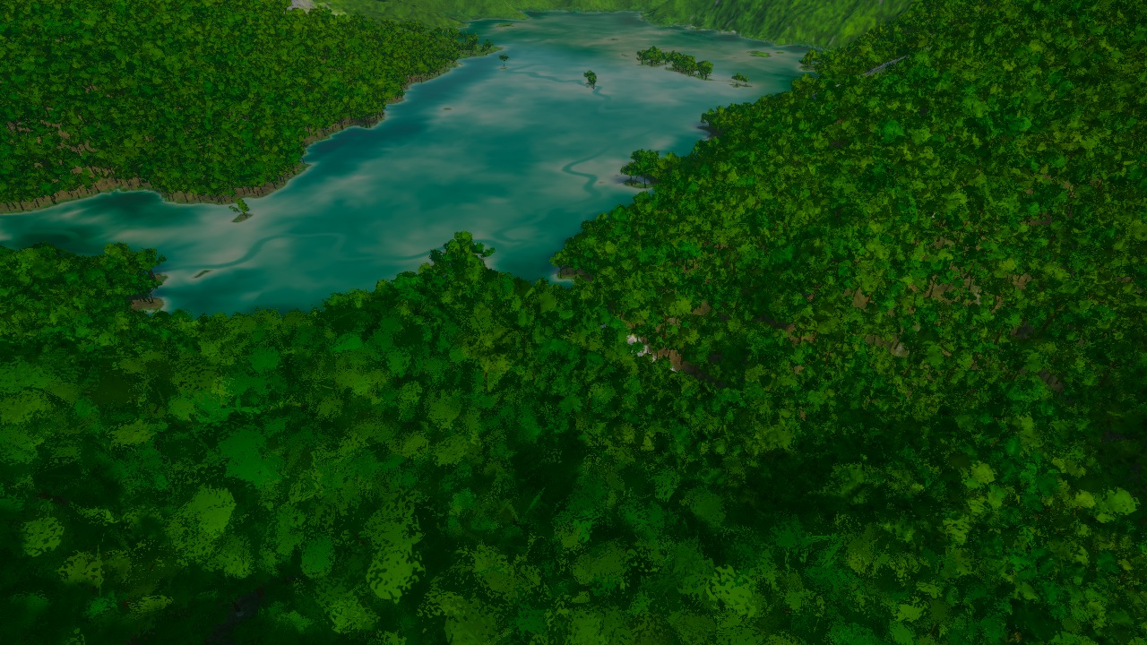
After: Ho Treo, the closer lake and gorge connection. Water fills that hollow, with tree-like objects apparently standing within it; the ground beneath them has not been checked.
Abendsee, Lac Clair and Joutsenjarvi replace dry ground with water#
The first local additions were Abendsee and Lac Clair. Their dark water cuts into the grass. Both stand just below the planned spill height because neither plan has an authored outlet neck.
Abendsee#
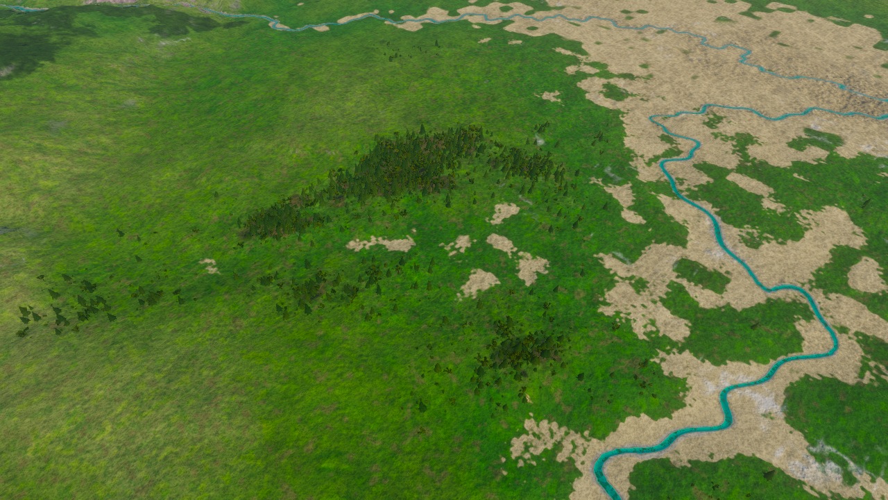
Before: Abendsee, the branching lowland hollow. Look for the unbroken grassy hollow at the centre of the frame.
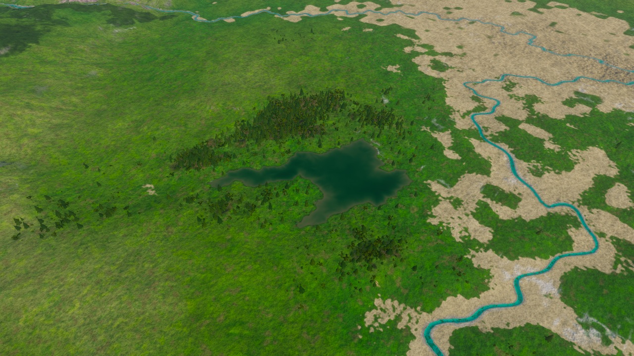
After: Abendsee, the branching lowland hollow. The dark branching lake interrupts the same grass; the river remains at the right.
Lac Clair#
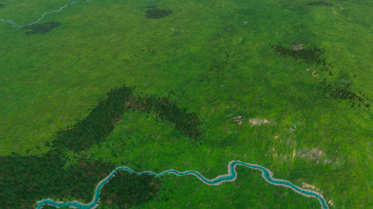
Before: Lac Clair, the long bent hollow between woodland and exposed ground. The wooded hollow is still dry above the bright river.
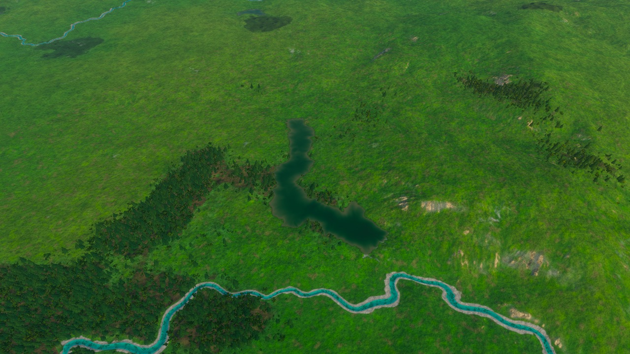
After: Lac Clair, the long bent hollow between woodland and exposed ground. A small dark lake fills the bend in the hollow.
Joutsenjarvi and its outlet#
Joutsenjarvi lies in the Great Forest. Water now fills its pale mountain basin. Dark speckling remains on the slopes, and repeated bands still stripe the outlet valley.
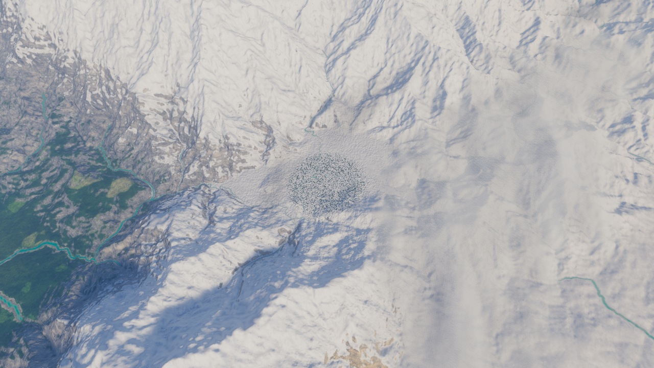
Before: Joutsenjarvi, the northern basin. The northern basin is pale ground between steep slopes.
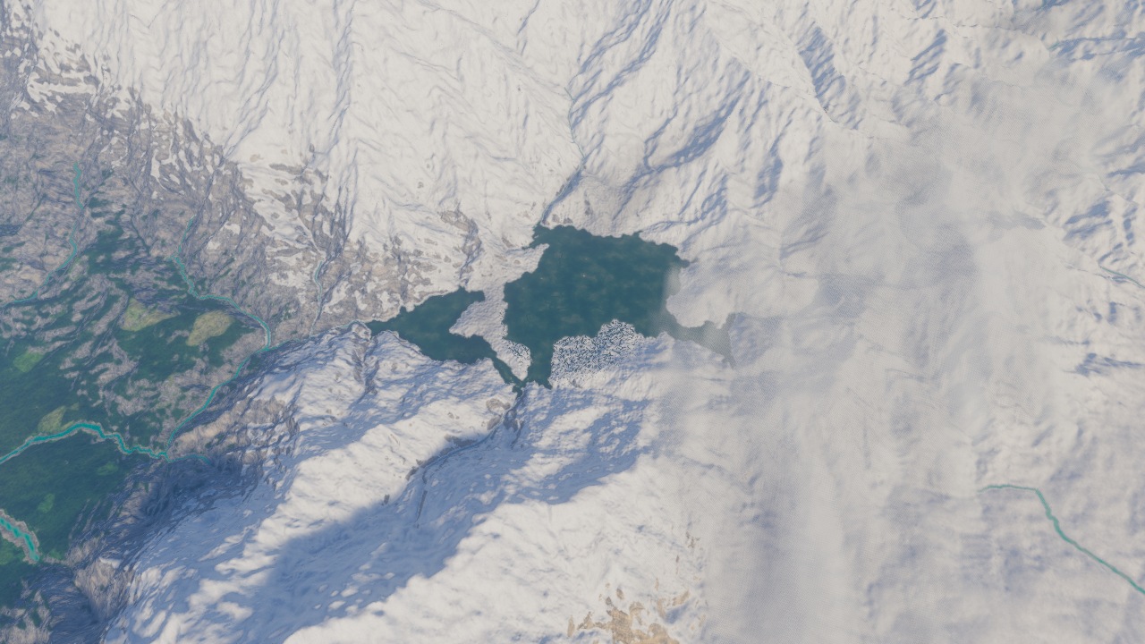
After: Joutsenjarvi, the northern basin. The lake fills the basin; dark speckling remains on the surrounding slopes.
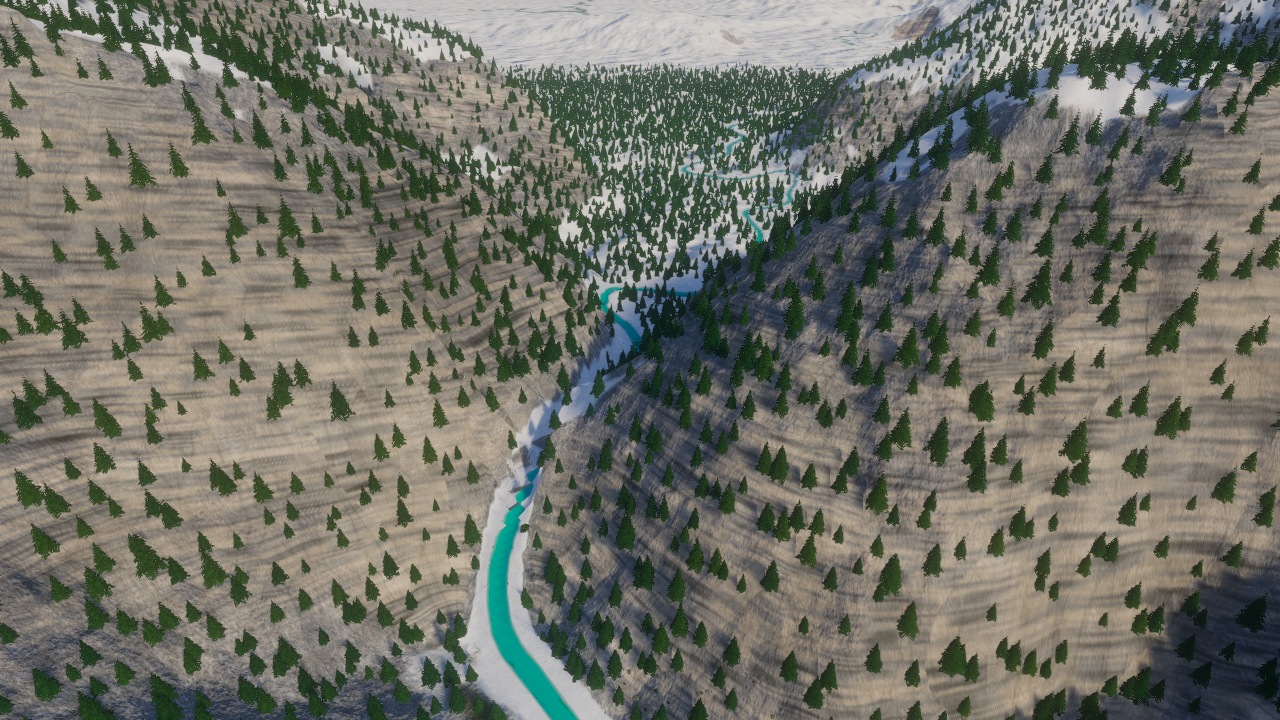
Before: Joutsenjarvi, the lake-to-gorge outlet view. The gorge opens towards an empty hollow beyond the near slopes.
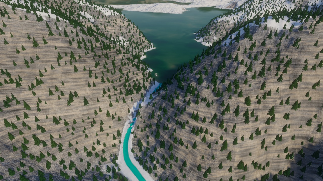
After: Joutsenjarvi, the lake-to-gorge outlet view. The far water now meets the narrow gorge; visible bands at that meeting remain unresolved.
The lowest exit sets the water level#
Imagine pouring water into a bowl with a notch in its rim. The water can rise only as high as the place where it escapes. A lake in Atlas follows the same basic idea: the ground supplies the bowl, the planned water level supplies the surface, and an authored sill closes an outlet neck where the plan requires one.
It is a lake in the terrain sample, rather than a blue polygon laid over a picture. The original plan guides which basin to fill. Connected ground below that level fills with water. Higher ground stays dry, forming the bays and islets visible in these views.
The current runtime uses a fixed level. It does not establish a seasonal water cycle merely because the source record contains low and high water values. The separate seasonal waters, fens and spring-fed cases still need their own hydrology.
| Lake | Planned spill level | Local water level | Sampled outline points under its own water |
|---|---|---|---|
| Abendsee | 7.38 m | 7.33 m | 223 / 225 |
| Lac Clair | 47.33 m | 47.28 m | 210 / 216 |
| Joutsenjarvi | 437.23 m | 437.23 m | 18,610 / 18,725 |
| Hananqucha | 275.78 m | 275.78 m | 4,312 / 4,342 |
| Ho Thac | 316.89 m | 316.89 m | 3,309 / 3,343 |
| Ho Treo | 617.24 m | 617.24 m | 2,808 / 2,866 |
Local release checks, sampled on a 16 m grid within the simplified original outlines. These are point counts, not percentages of the lake's total area. The closed hollows stand 5 cm below their planned crests; the lakes with marked outlet necks stand at their crest.
The outlet test mistook river water for escaped lake water#
Hananqucha first appeared to fail its outlet check at two downstream points. Both were wet, and their surface lay within a centimetre of the lake level. But the river was already there before the lake.
Querying Hananqucha itself placed those points about 28 m outside its shore. The test had confused nearby river water with water belonging to that lake. The corrected check asks the named lake directly. No outlet was widened, no level lowered and no source outline changed to make it pass.
The corrected test found no water belonging to Hananqucha beyond either sill at the points it sampled. Ho Thac and Ho Treo passed that check too. This answers a narrow question about where each lake ends; it does not prove that water flows correctly through every connecting valley. The separate shoreline check still fails, as described below.
Real banks leave space between trees and water#
Compare the Atlas shores with these photographs from Finland. Bare ground separates trees from water. Banks have uneven edges, and rocks mark the sides of a channel. Those are the details missing or difficult to see along several of our new lakes. We use the photographs to judge banks and water edges, rather than to copy Finland's geography.
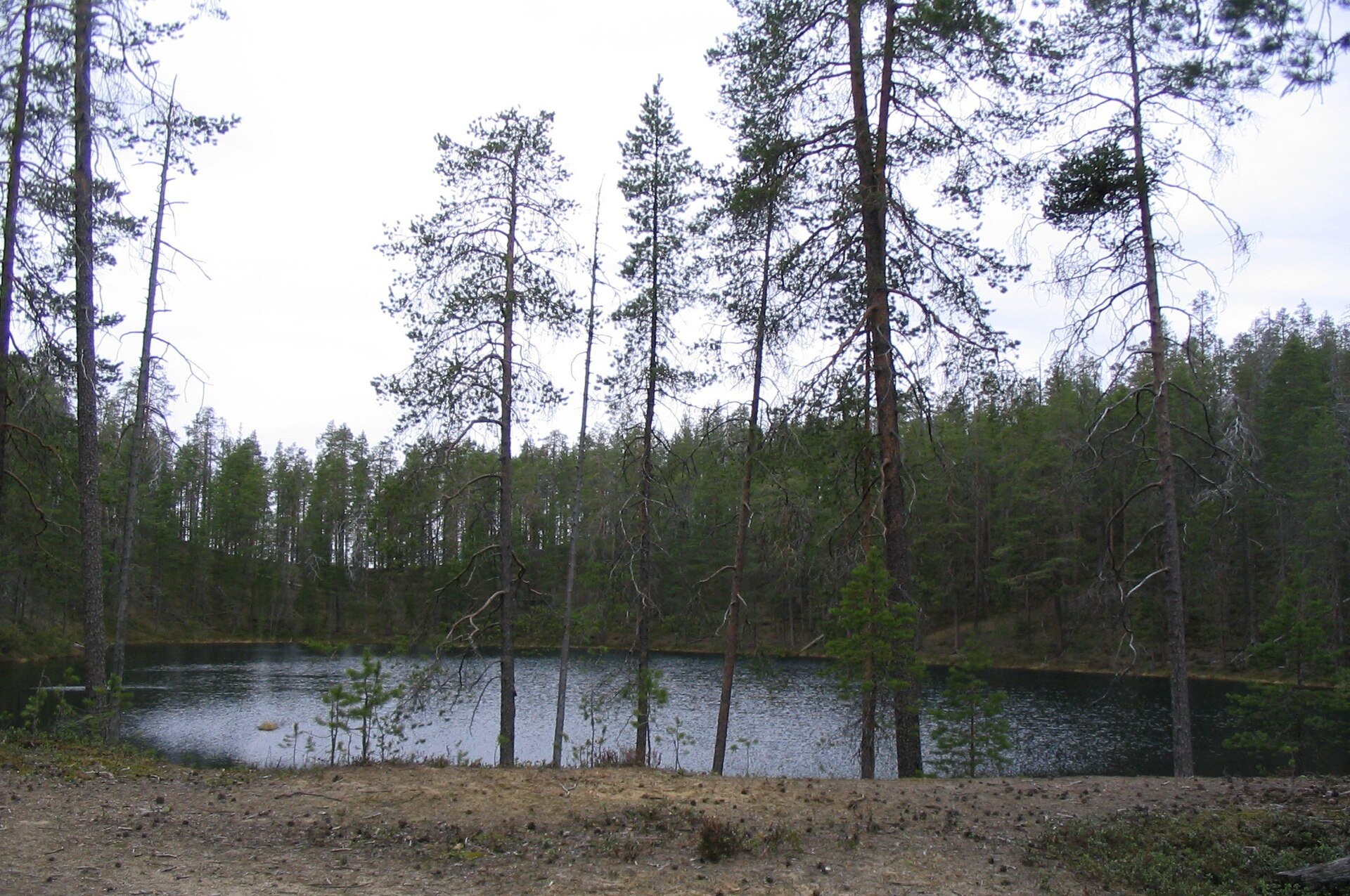
Kettle pond in Hossa, Finland. Photograph by Saruwine, via Wikimedia Commons; the source page records the existing crop by Tillman. The bank remains legible beneath the trees. Source and attribution; CC BY-SA 3.0. This copy is JPEG re-encoded, with no further crop or colour change; the photograph retains that licence.
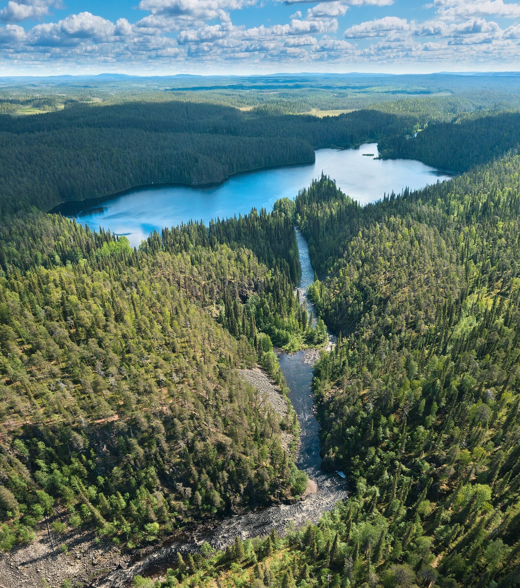
Oulankajoki and Savilampi, Finland. Photograph by Ximonic (Simo Räsänen), via Wikimedia Commons. The source describes a stitched panorama; it is a visual reference, not a terrain survey. Source and attribution; CC BY-SA 3.0. This copy is JPEG re-encoded, with no further crop or colour change; the photograph retains that licence.
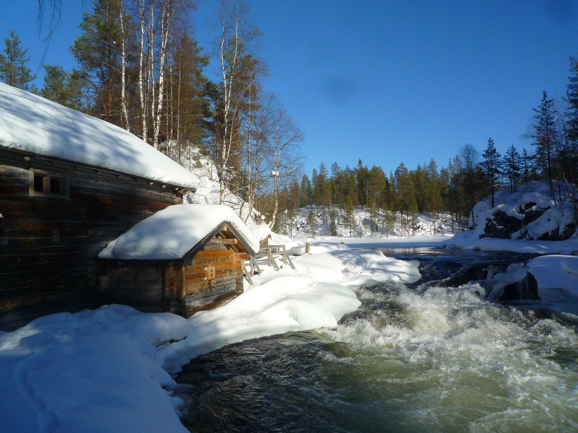
Myllykoski, Finland. Photograph by Timo Newton-Syms, via Wikimedia Commons. Snow has thickness and an irregular edge beside the water. Source and attribution; CC BY-SA 2.0. This copy is JPEG re-encoded, with no further crop or colour change; the photograph retains that licence.
Full relief gallery: the basins and their outlets#
The following views show the same three larger additions without the game's water materials and vegetation. Flat blue is a diagnostic water mask. It is not the intended colour of the finished lake.
Every case is shown in plan and oblique relief, before and after. Before uses tool source 10290058 and terrain 58f8484e5828e7e7; after uses be500d4d and terrain cc4ab412c67ed0ec. Each pair shares its window, sampling scale, camera and light. Straight blue endings at a crop boundary are the edge of the diagnostic window, not proof of a straight physical shore.
Hananqucha: basin#
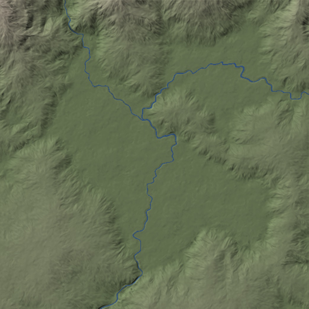
Before, plan relief: Hananqucha: basin. The basin remains ground around its existing channels.
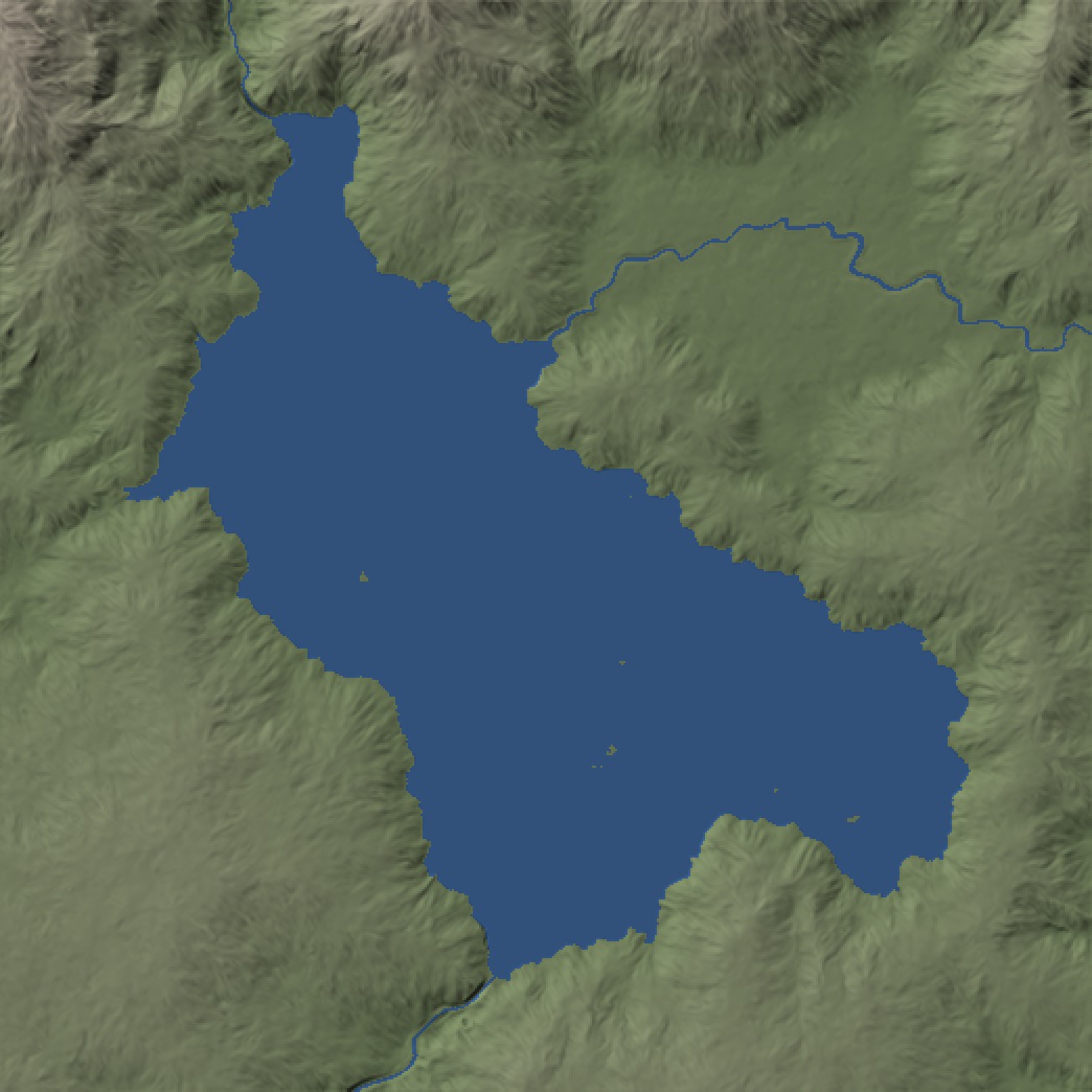
After, plan relief: Hananqucha: basin. Compare the connected blue lake with the enclosing slopes and the preceding dry basin.
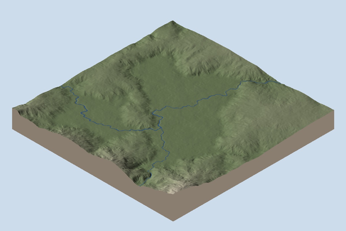
Before, oblique relief: Hananqucha: basin. The basin remains ground around its existing channels.
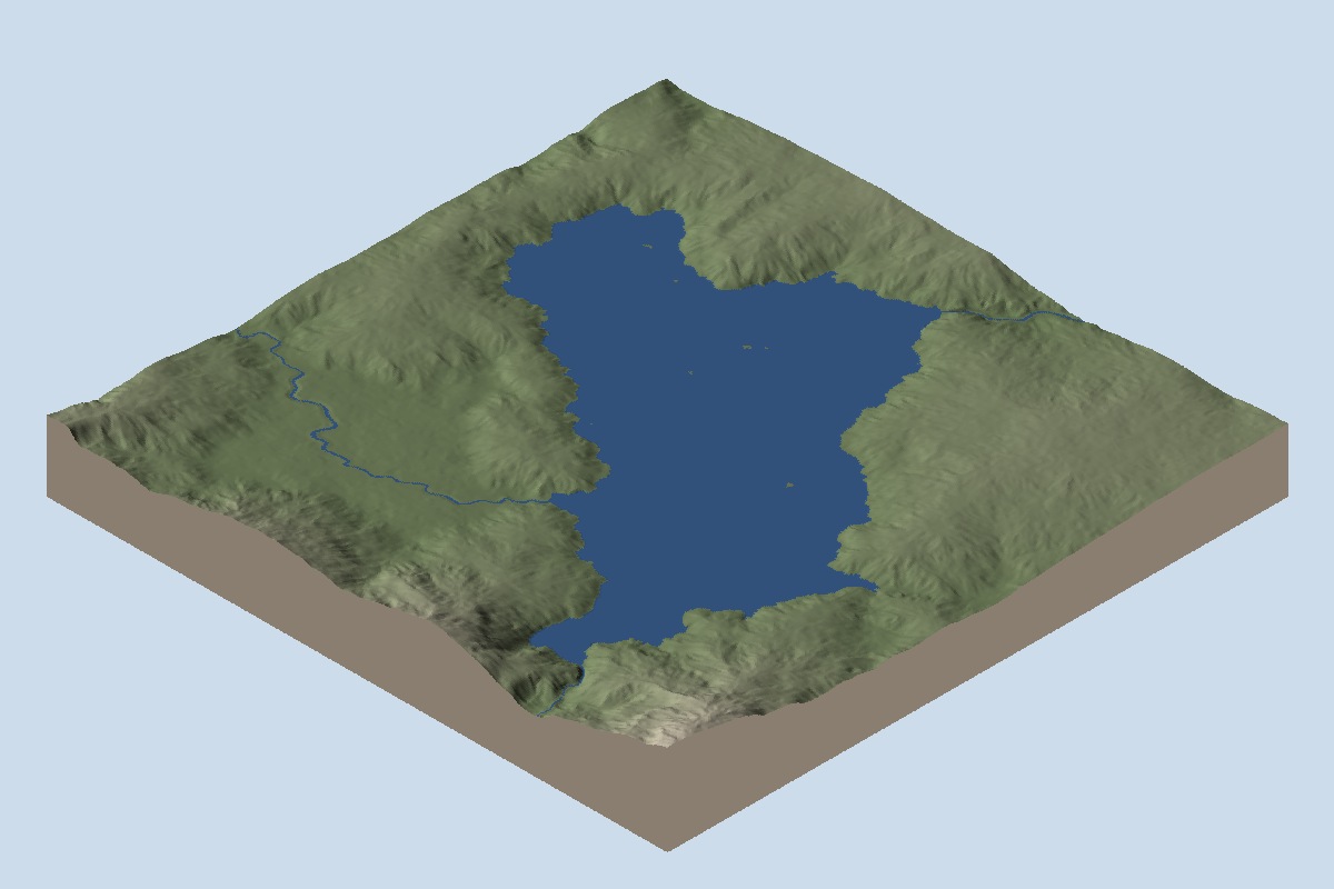
After, oblique relief: Hananqucha: basin. Compare the connected blue lake with the enclosing slopes and the preceding dry basin.
Hananqucha: first neck#
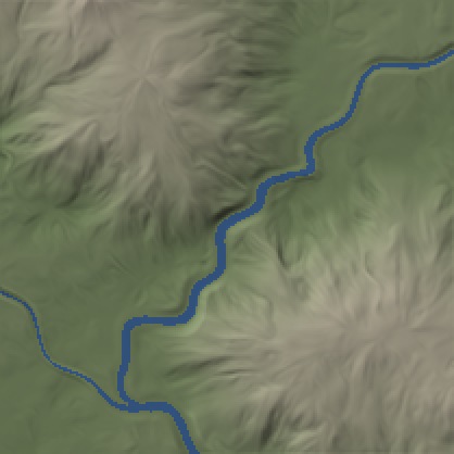
Before, plan relief: Hananqucha: first neck. Follow the narrow pre-lake channel through this outlet window.
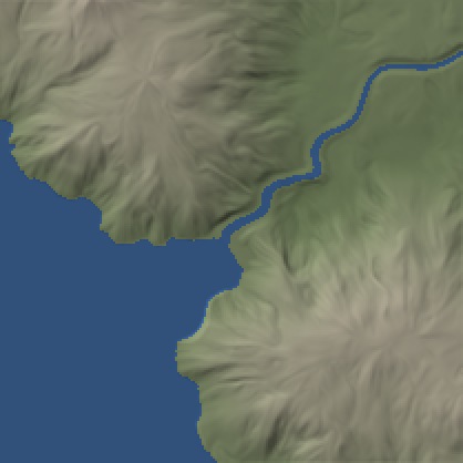
After, plan relief: Hananqucha: first neck. Follow the connection from the lake into the narrow channel; this cropped view does not prove downstream flow.
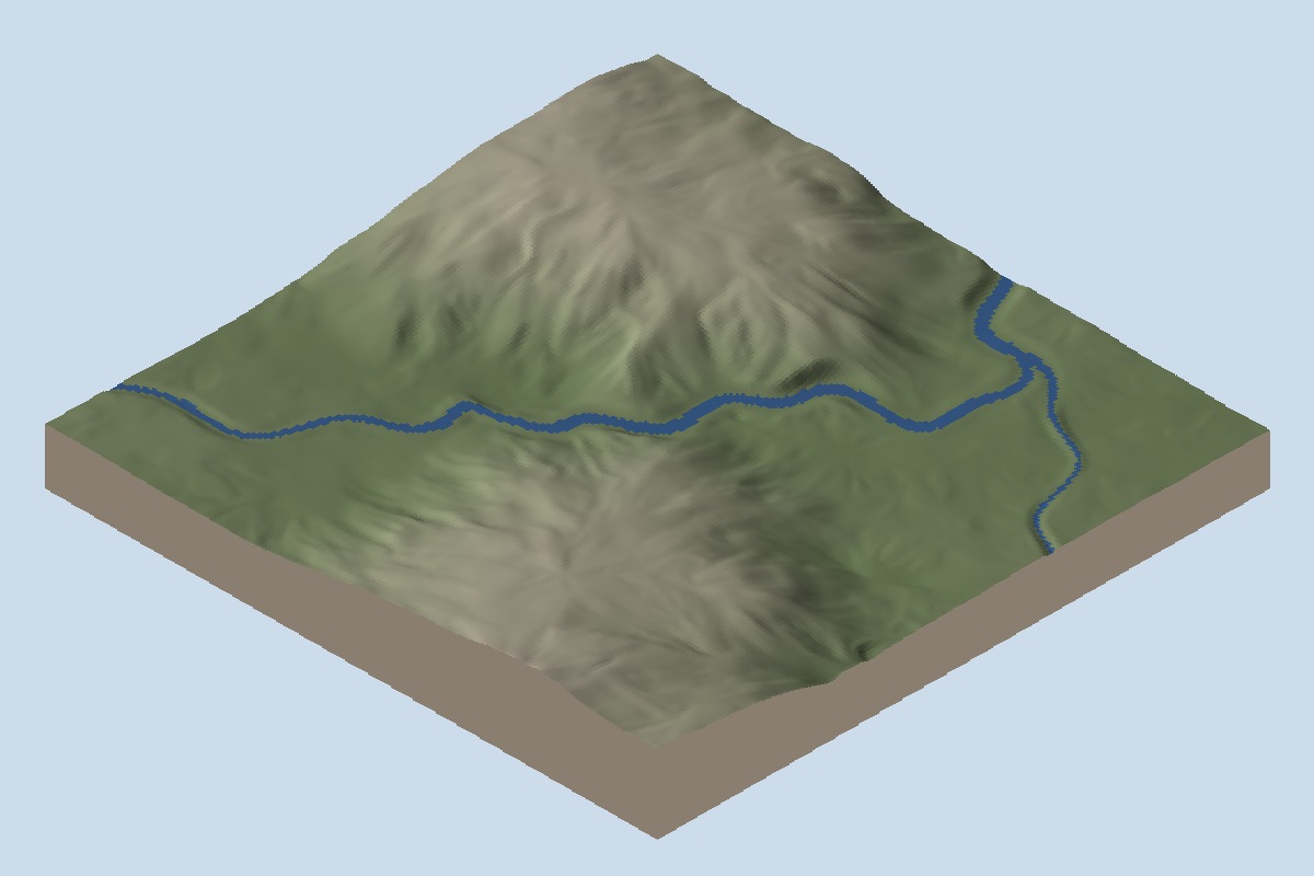
Before, oblique relief: Hananqucha: first neck. Follow the narrow pre-lake channel through this outlet window.
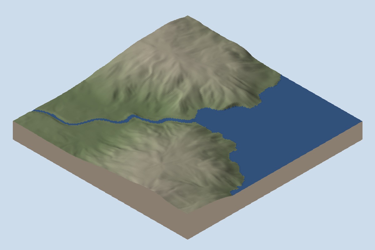
After, oblique relief: Hananqucha: first neck. Follow the connection from the lake into the narrow channel; this cropped view does not prove downstream flow.
Hananqucha: second neck#
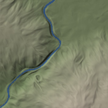
Before, plan relief: Hananqucha: second neck. Follow the narrow pre-lake channel through this outlet window.
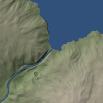
After, plan relief: Hananqucha: second neck. Follow the connection from the lake into the narrow channel; this cropped view does not prove downstream flow.
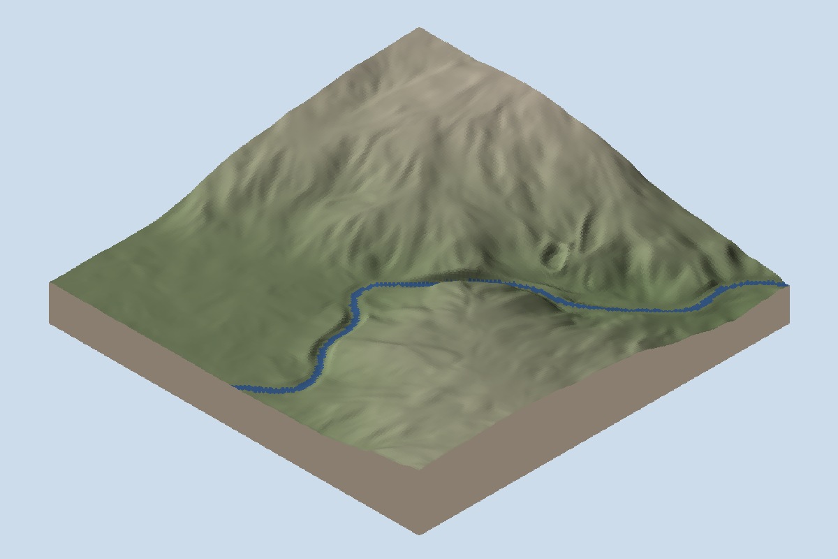
Before, oblique relief: Hananqucha: second neck. Follow the narrow pre-lake channel through this outlet window.
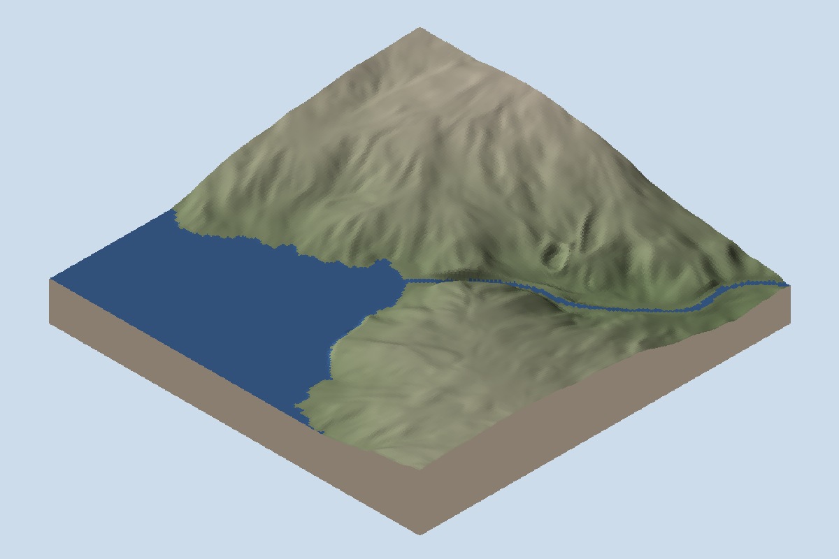
After, oblique relief: Hananqucha: second neck. Follow the connection from the lake into the narrow channel; this cropped view does not prove downstream flow.
Ho Thac: basin#
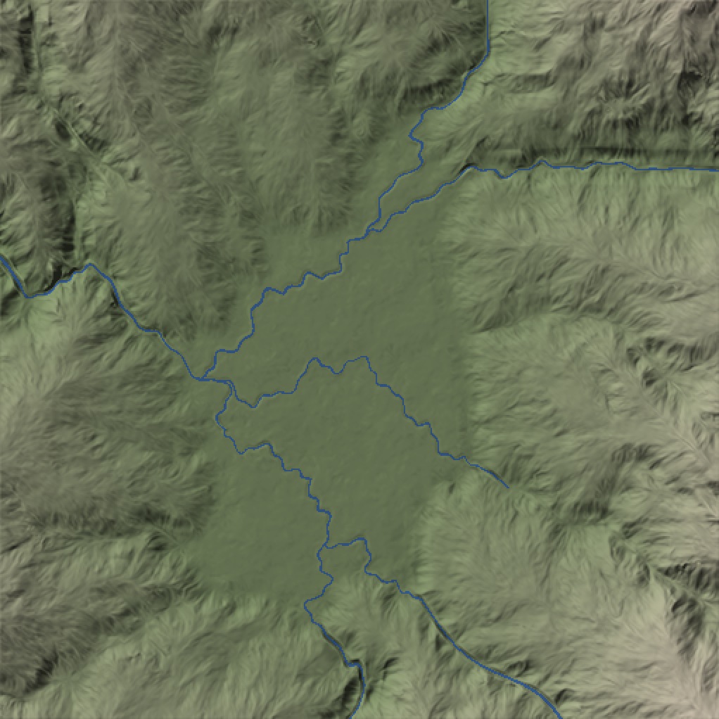
Before, plan relief: Ho Thac: basin. The basin remains ground around its existing channels.
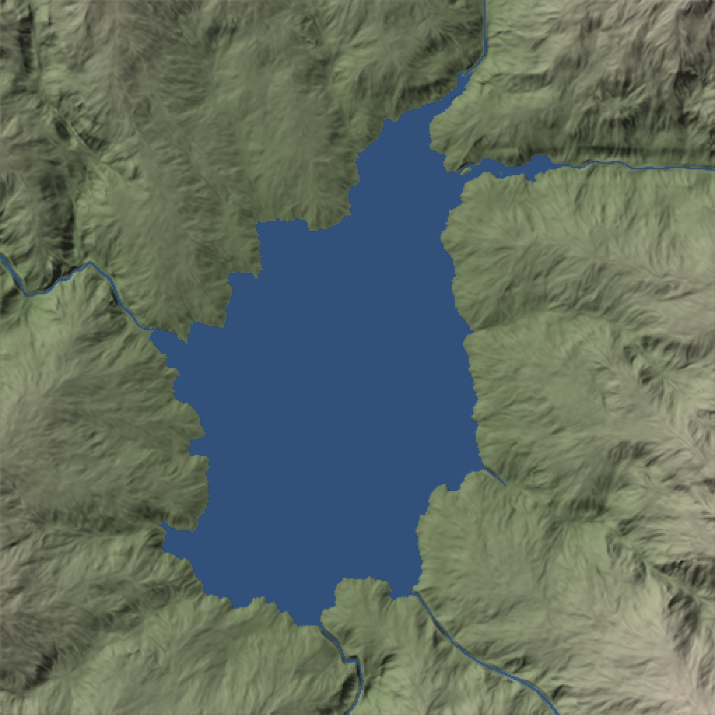
After, plan relief: Ho Thac: basin. Compare the connected blue lake with the enclosing slopes and the preceding dry basin.
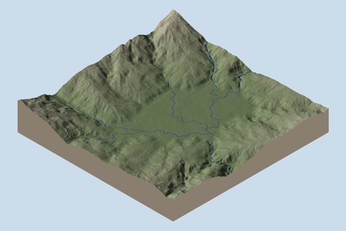
Before, oblique relief: Ho Thac: basin. The basin remains ground around its existing channels.
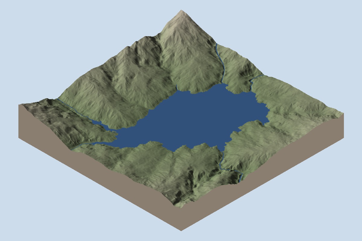
After, oblique relief: Ho Thac: basin. Compare the connected blue lake with the enclosing slopes and the preceding dry basin.
Ho Thac: neck#
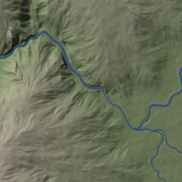
Before, plan relief: Ho Thac: neck. Follow the narrow pre-lake channel through this outlet window.
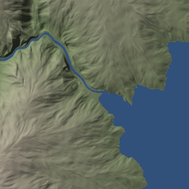
After, plan relief: Ho Thac: neck. Follow the connection from the lake into the narrow channel; this cropped view does not prove downstream flow.
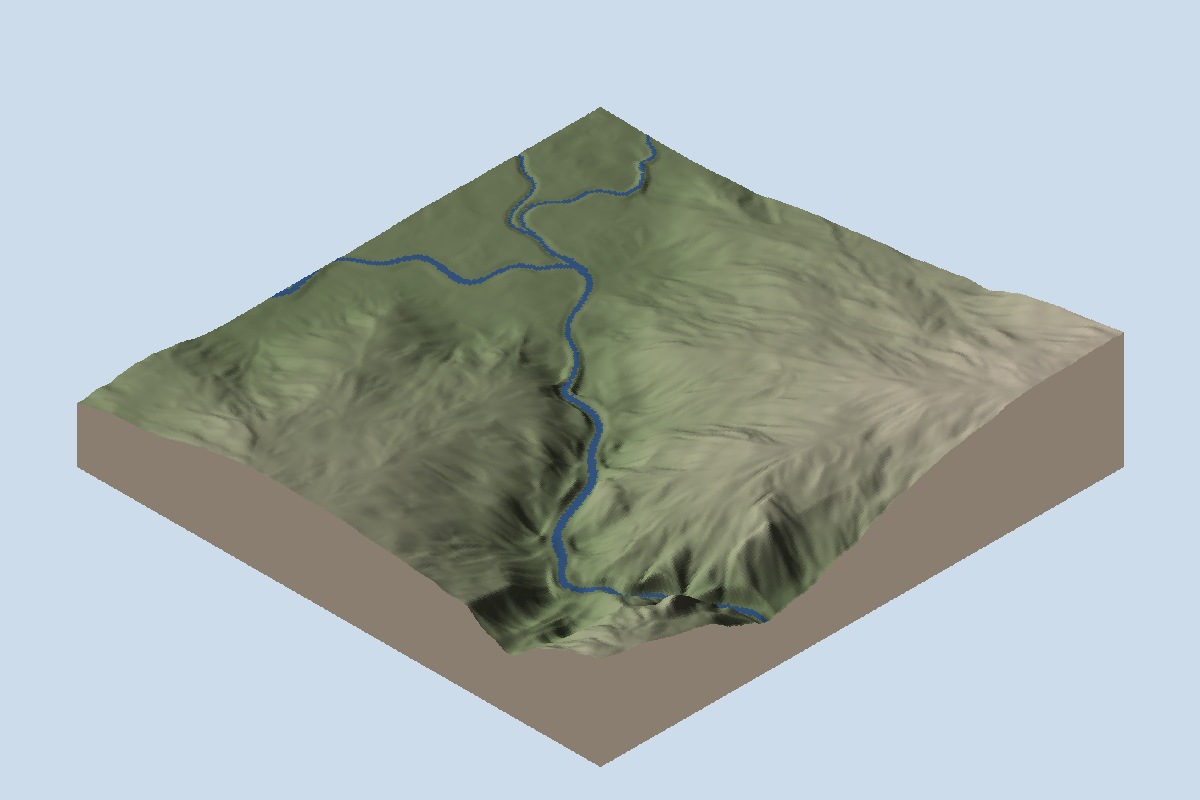
Before, oblique relief: Ho Thac: neck. Follow the narrow pre-lake channel through this outlet window.
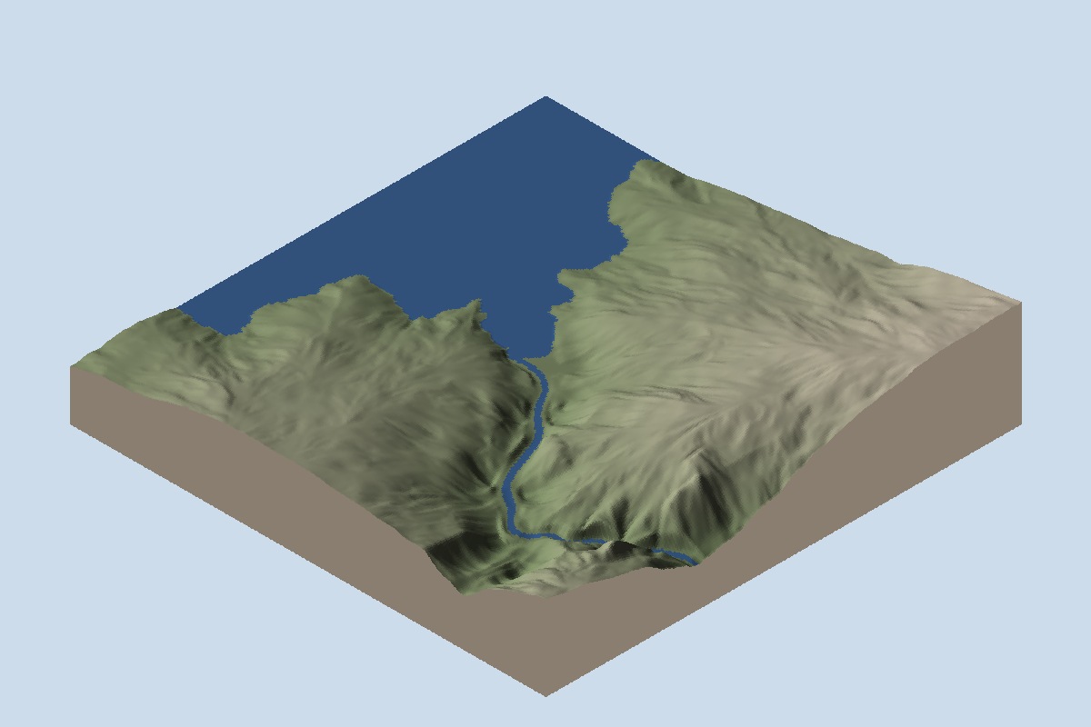
After, oblique relief: Ho Thac: neck. Follow the connection from the lake into the narrow channel; this cropped view does not prove downstream flow.
Ho Treo: basin#
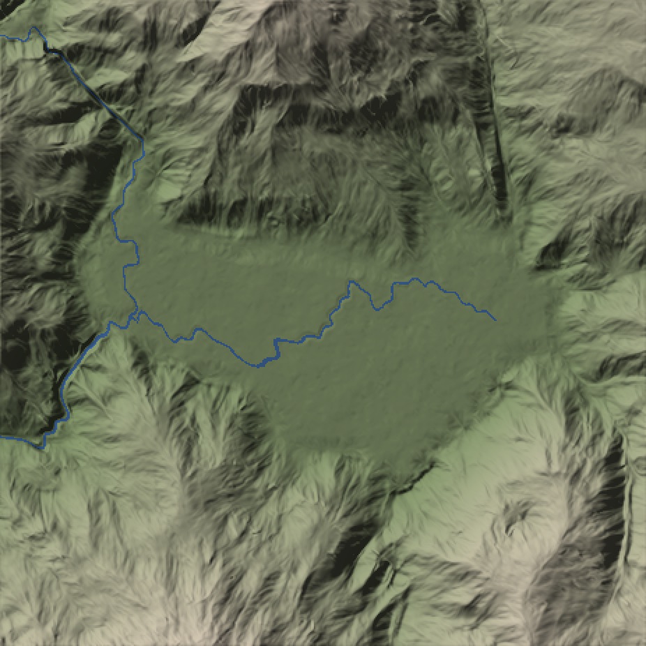
Before, plan relief: Ho Treo: basin. The basin remains ground around its existing channels.
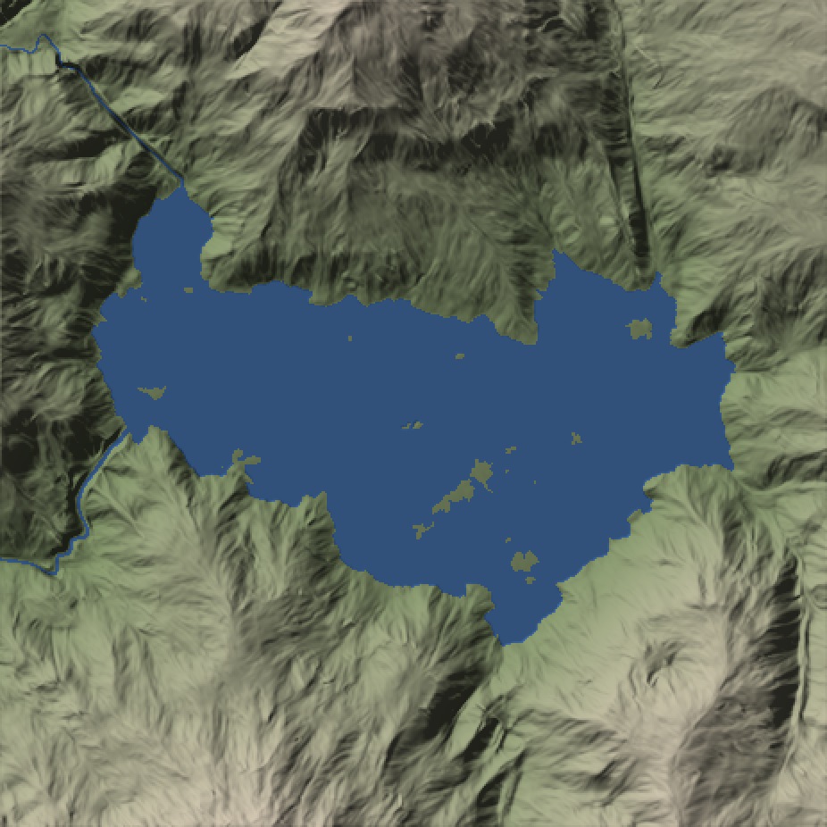
After, plan relief: Ho Treo: basin. Compare the connected blue lake with the enclosing slopes and the preceding dry basin.
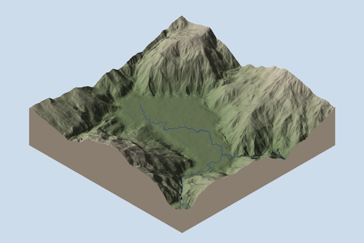
Before, oblique relief: Ho Treo: basin. The basin remains ground around its existing channels.
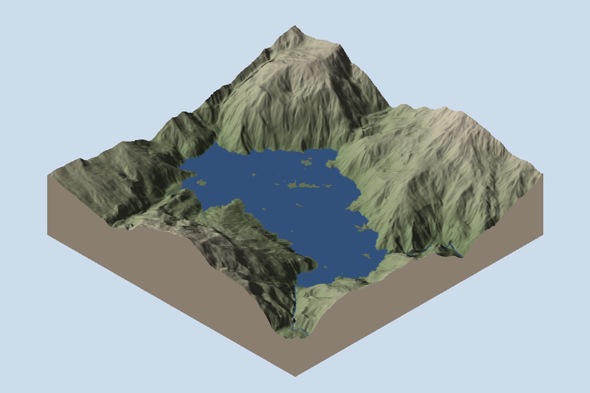
After, oblique relief: Ho Treo: basin. Compare the connected blue lake with the enclosing slopes and the preceding dry basin.
Ho Treo: neck#
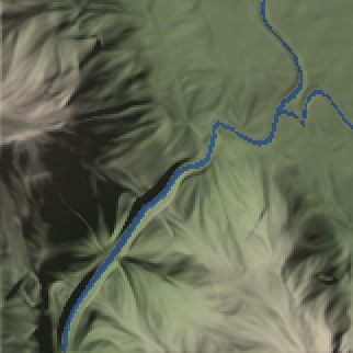
Before, plan relief: Ho Treo: neck. Follow the narrow pre-lake channel through this outlet window.
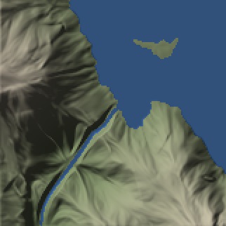
After, plan relief: Ho Treo: neck. Follow the connection from the lake into the narrow channel; this cropped view does not prove downstream flow.
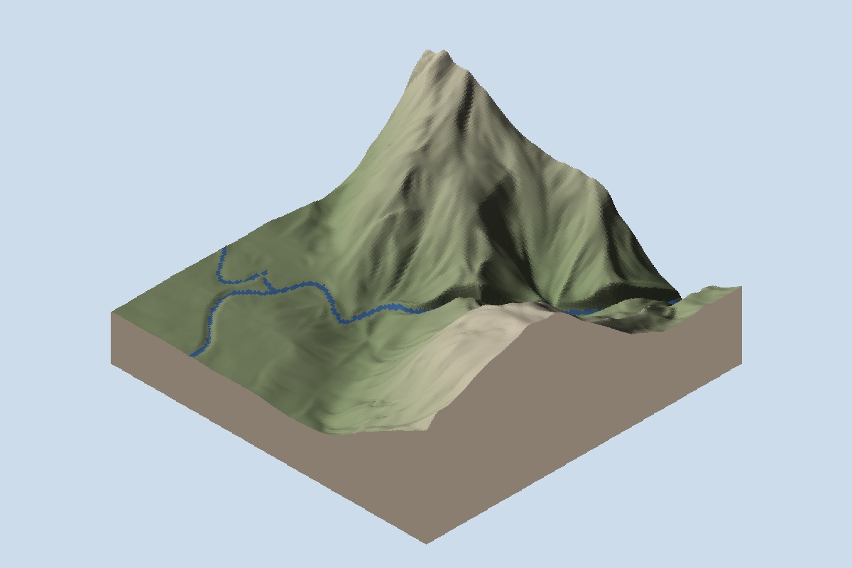
Before, oblique relief: Ho Treo: neck. Follow the narrow pre-lake channel through this outlet window.
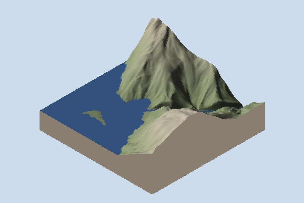
After, oblique relief: Ho Treo: neck. Follow the connection from the lake into the narrow channel; this cropped view does not prove downstream flow.
The shoreline check still fails#
The new water does not finish the shore. The game views still show dark lines and angular patches on the surface, crowded forest edges and trees apparently in water. The screenshots do not establish what causes each defect.
A separate test measures how closely the drawn shoreline follows the ground's contour. With the more precise measurement, both the six-lake and nine-lake candidates fail: the 95th-percentile offset is 1.52 m, above the 1.50 m limit, at 2 m texels. An earlier measurement passed the six-lake set. That result is historical; the refined check fails for it too. The limit has not changed, and adding more lakes cannot excuse that failure.
The six lakes shown here run in local builds. Three more definitions have since been added locally, but neither candidate has been released. Their complete set of fine shore boundaries has not been published. We also have not verified walking routes, settlement clearance or crossings at these new shores.
The earlier road-and-lake post shows why those checks matter. A shore decides where a road can run and where a traveller needs a crossing. Filling the hollow is only the first part of that work.
Hananqucha means “the upper lake” in Atlas's name record.
Below the wooded peninsula, the river still winds through the grass to Hananqucha.